
SURVEY CAPABILITY
LiDAR
SURVEYING.
Turn complex terrain into survey-ready spatial data.
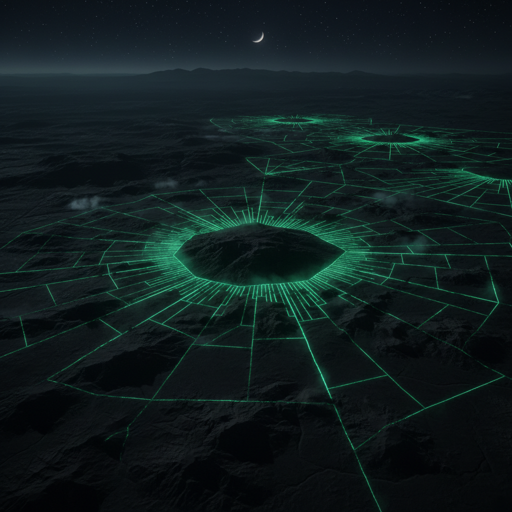
High-density point-cloud capture using airborne LiDAR sensors. Captures millions of spatial measurements to generate accurate terrain and infrastructure models for engineering, planning and GIS applications.
Airborne LiDAR delivers survey-grade accuracy across large and complex areas in a fraction of the time of traditional ground-based methods. Ideal for corridor mapping, flood modelling, infrastructure assessment and any environment where conventional access is difficult or costly.
USE CASES
- Topographical surveys
- Corridor mapping
- Flood modelling
- Infrastructure assessment
- Forestry mapping
- Urban planning
DATA OUTPUTS
- Point Cloud (.LAS)
- DTM
- DSM
- Contours
- CAD files
- GIS layers
- 3D models
TECHNICAL SPECIFICATION
Point Density200+ pts/m²
Vertical Accuracy±2cm
Horizontal Accuracy±5cm
Max Range100m AGL
Coverage RateUp to 200ha/hr
200+
POINTS PER M²
±2cm
VERTICAL ACCURACY
100ha
PER FLIGHT HOUR
100%
GEOREFERENCED
RELATED CAPABILITIES