
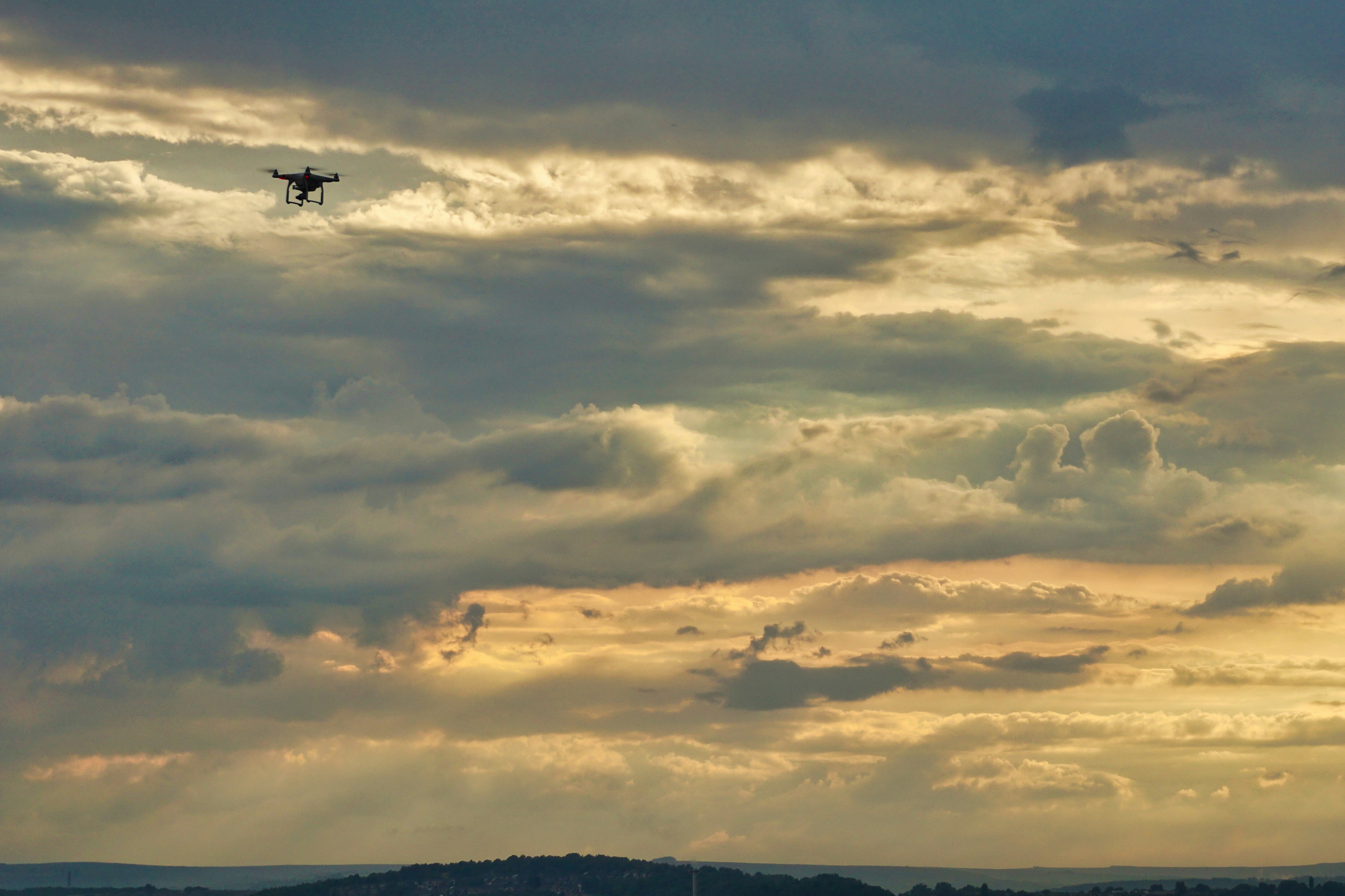
CAPABILITY MATRIX
WHAT WE
CAN DO.
From LiDAR surveys and confined-space inspections to aerial photography for property and events — one professional UAV platform, deployed wherever the data needs to be captured.
LiDAR Surveying
Turn complex terrain into survey-ready spatial data.
High-density point-cloud capture using airborne LiDAR sensors. Captures millions of spatial measurements to generate accurate terrain and infrastructure models for engineering, planning and GIS applications.
USE CASES
- Topographical surveys
- Corridor mapping
- Flood modelling
- Infrastructure assessment
- Forestry mapping
- Urban planning
DATA OUTPUTS
- Point Cloud (.LAS)
- DTM
- DSM
- Contours
- CAD files
- GIS layers
- 3D models
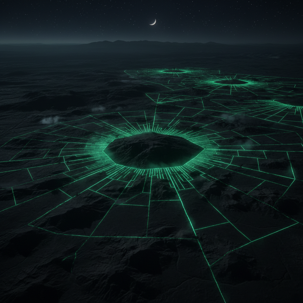
SYSTEMS & TECHNOLOGY
THE
HARDWARE.
Multi-Rotor UAV
Professional grade, survey-capable
Payload: 2.7kg | Endurance: 38min | Wind: 12m/s
Confined-Space UAV
Caged, GPS-denied capable
Diameter: 330mm | Indoor rated | Obstacle-tolerant
LiDAR Module
Airborne laser scanning
Density: 200pts/m² | Accuracy: ±2cm | Range: 100m
Thermal Camera
Radiometric FLIR
Resolution: 640×512 | Sensitivity: <50mK | Temp range: -40°C to +550°C
RGB Survey Camera
High-resolution mapping
Resolution: 45MP | GSD: 1.5cm @ 100m | RTK-integrated
RTK/GNSS Module
Survey-grade positioning
Accuracy: 1cm+1ppm H | 1.5cm+1ppm V | Multi-constellation
Photogrammetry Suite
Point cloud & mesh generation
Agisoft Metashape Professional
LiDAR Processing
Point cloud classification & DTM
LAStools | TerraScan | CloudCompare
GIS Integration
Spatial data export
ArcGIS | QGIS | AutoCAD Civil 3D compatible