
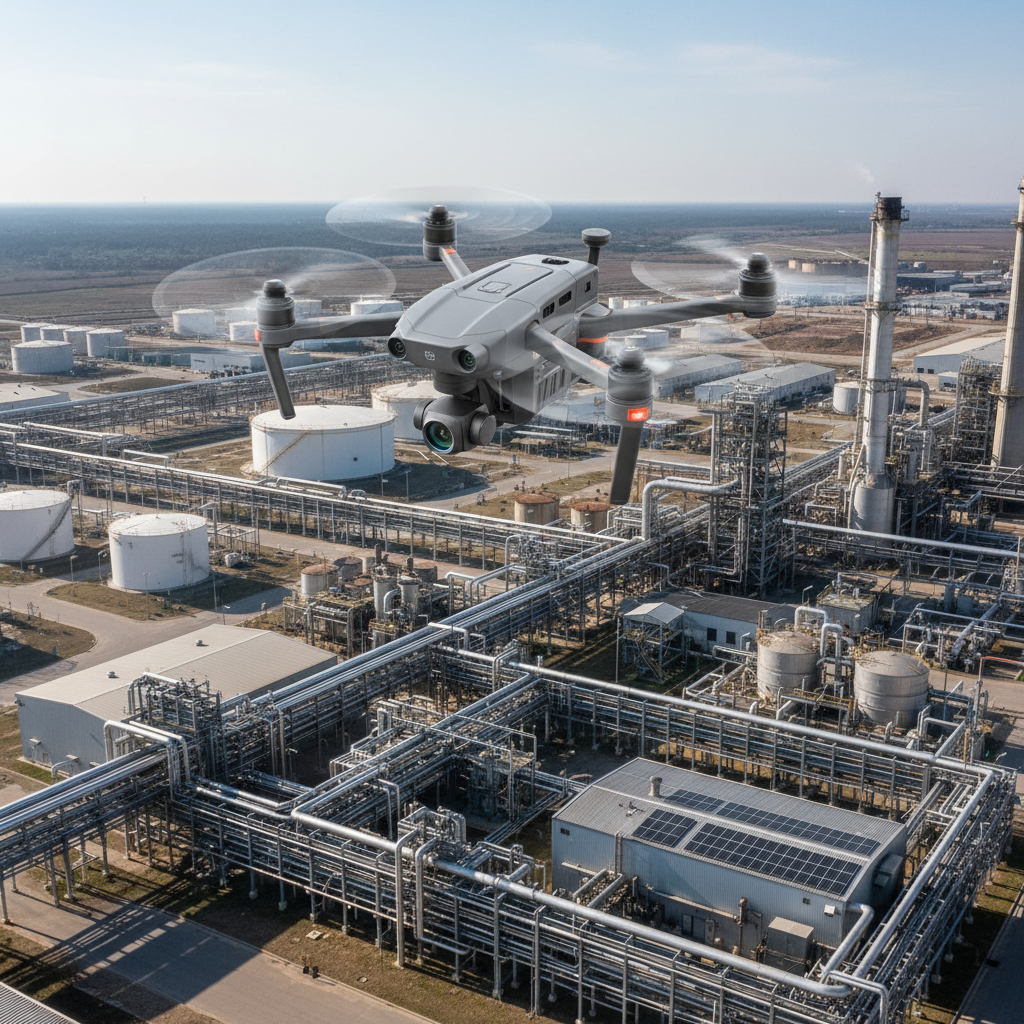
WE GO WHERE
OTHERS CAN'T.
Advanced drone operations for surveying, inspection, mapping and specialist missions across Lancashire and the UK.
MISSION SELECTOR
WHAT DO YOU
NEED TO DO?
Select your objective. We'll match the right aerial capability to your problem.
SELECT AN OBJECTIVE TO SEE
RECOMMENDED CAPABILITY
CAPABILITY MATRIX
ONE PLATFORM.
MULTIPLE CAPABILITIES.
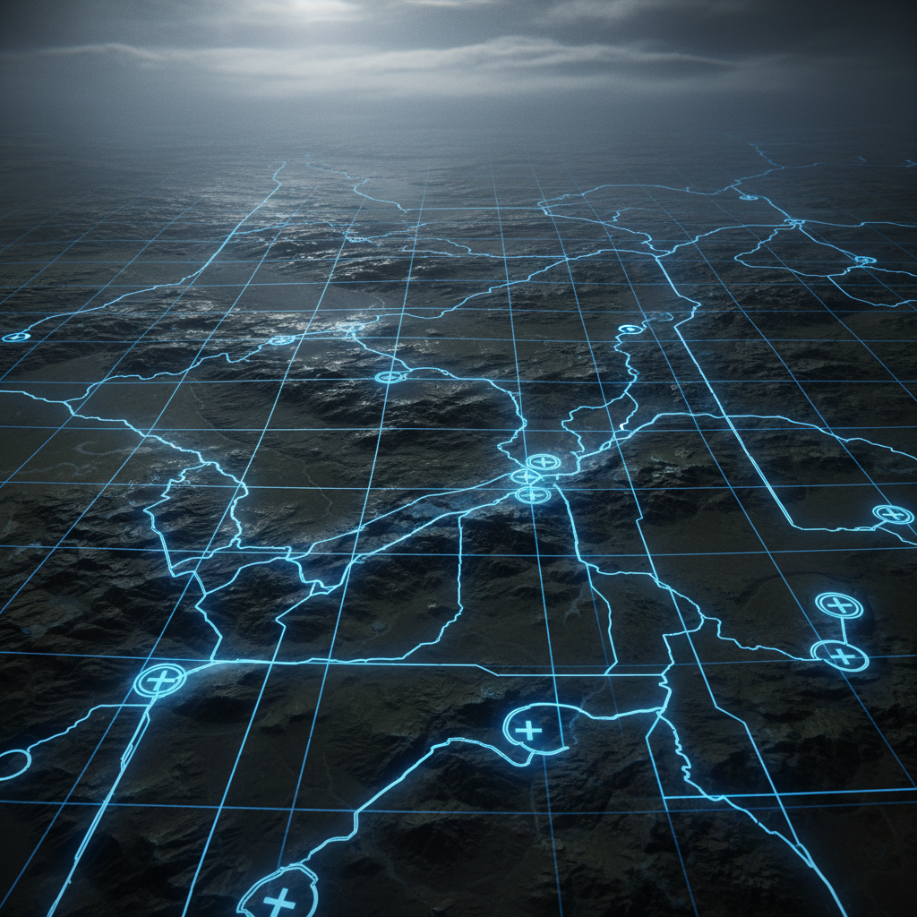
LiDAR
Point Cloud Capture
High-density point-cloud capture for terrain, infrastructure and complex environments. Turn complex terrain into survey-ready spatial data.
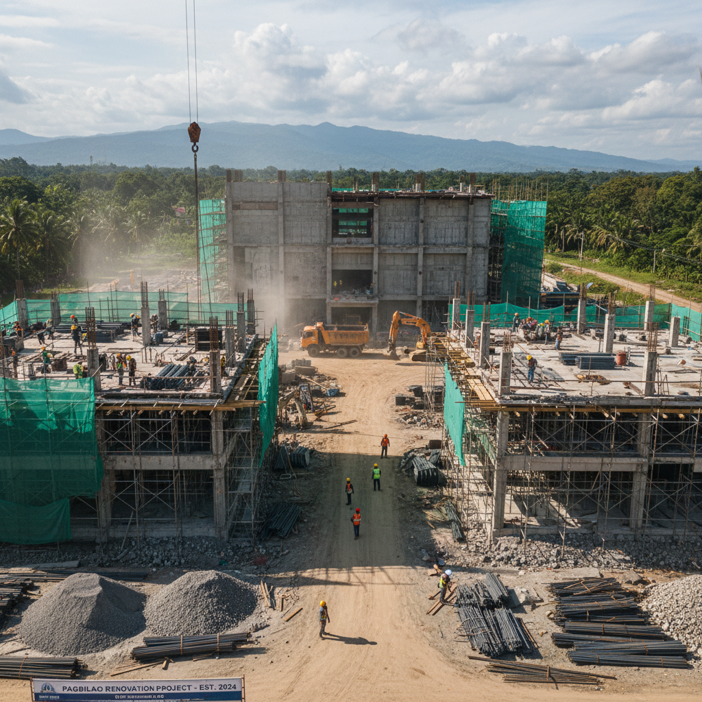
SURVEYING
Topographical & Land
Accurate aerial data acquisition for land, construction and infrastructure without extended site teams.
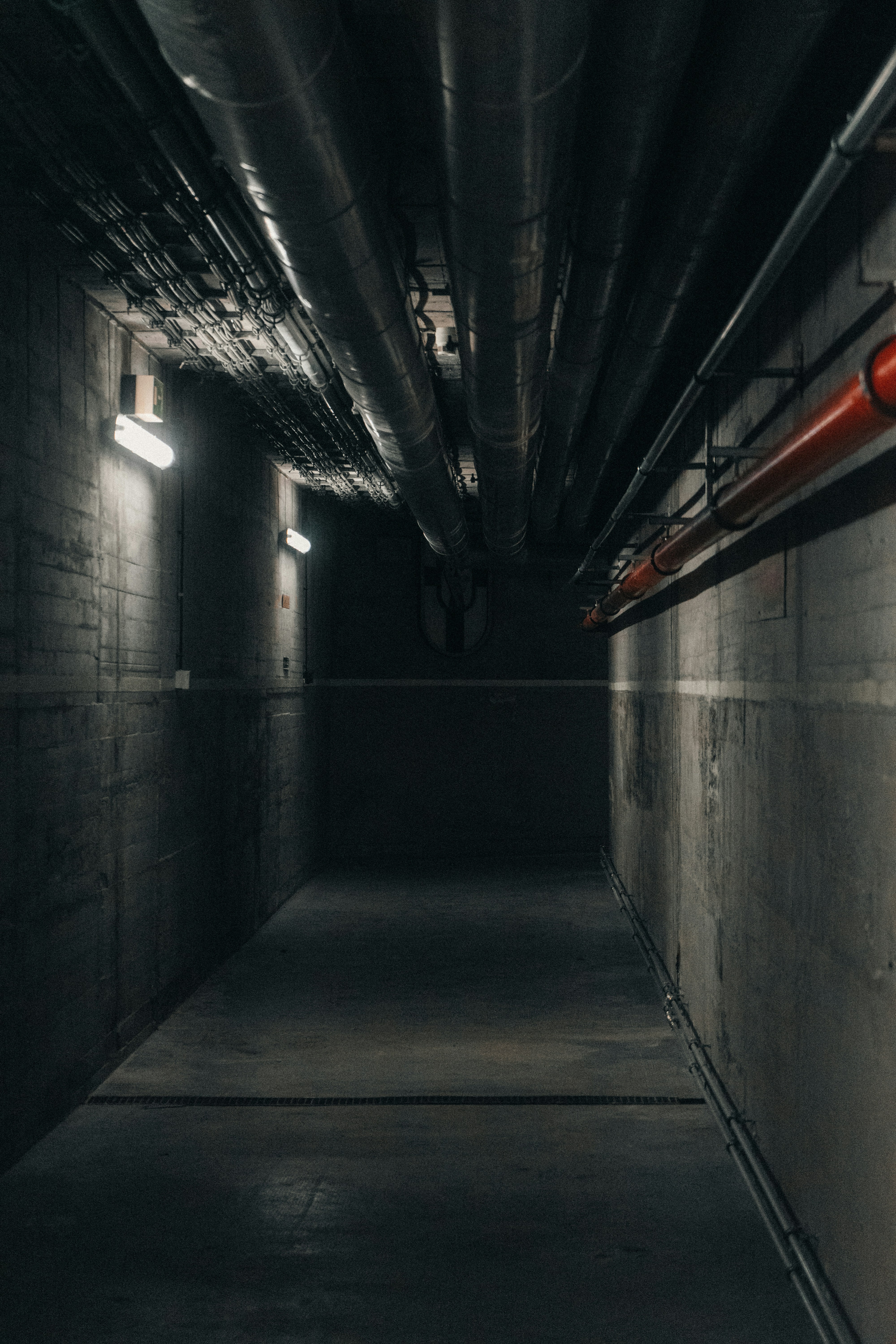
CONFINED SPACE
GPS-Denied Inspection
Remote inspection of GPS-denied and inaccessible environments. Send the drone, not the person.

PHOTOGRAMMETRY
2D & 3D Datasets
High-resolution imagery transformed into measurable 2D and 3D datasets.

THERMAL
Thermal Imaging
Identify anomalies without shutting down the asset. Aerial thermal imaging for buildings and infrastructure.
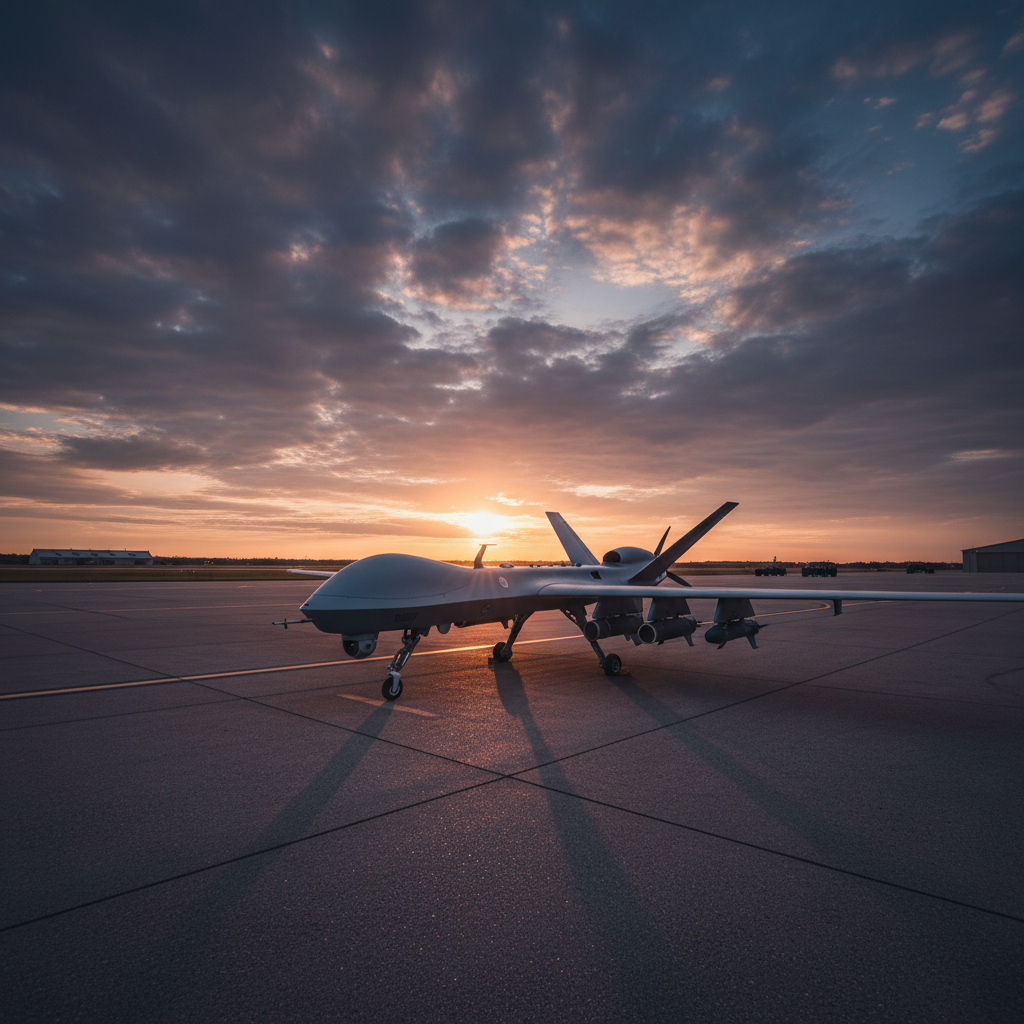
SEARCH & RESPONSE
Situational Awareness
Rapid aerial situational awareness for search, incident and emergency-response operations.
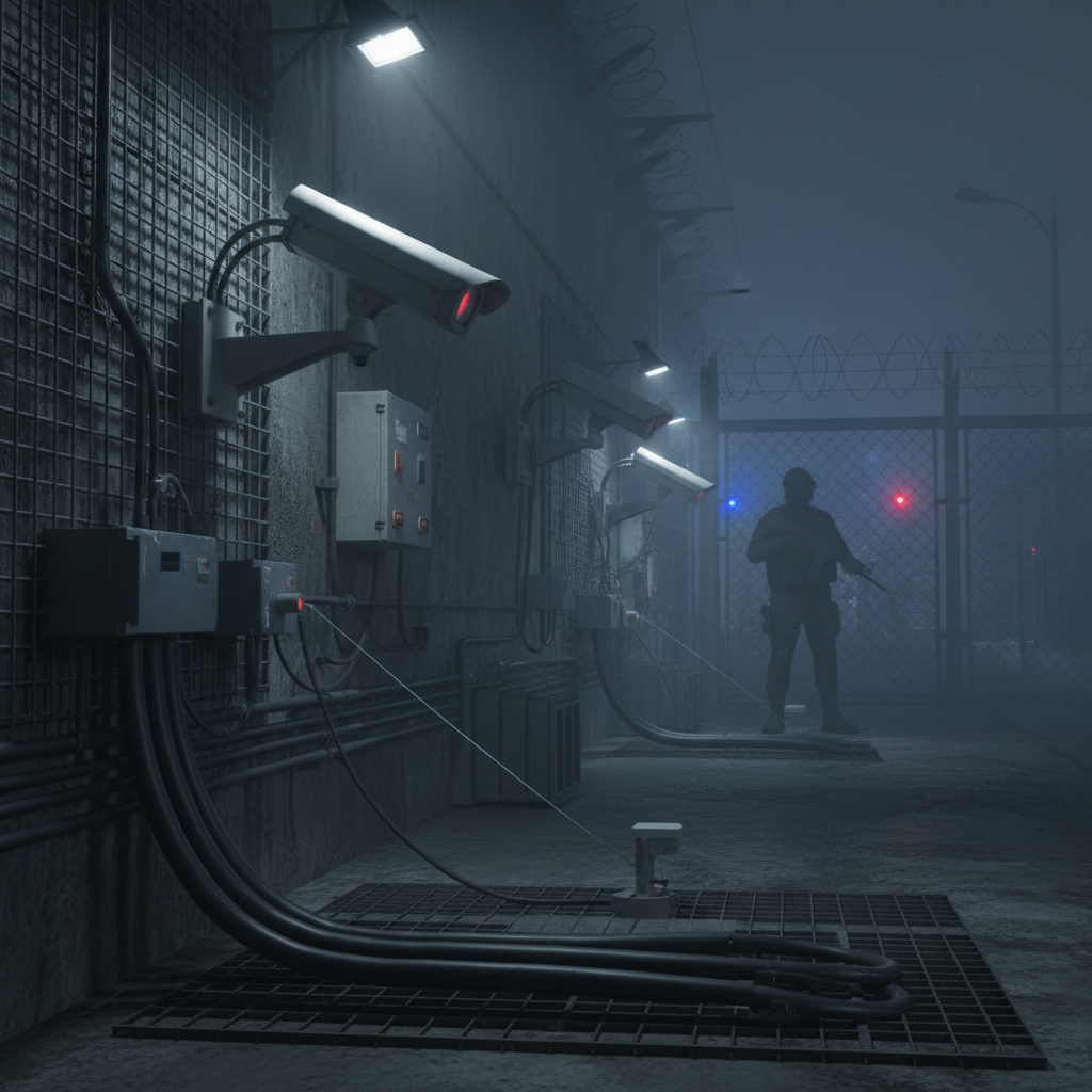
INSPECTION
Asset & Infrastructure
Detailed visual inspection of roofs, structures, industrial assets and infrastructure.

DIGITAL TWINS
Navigable Digital Assets
Convert captured environments into accurate, navigable digital assets for planning and operations.
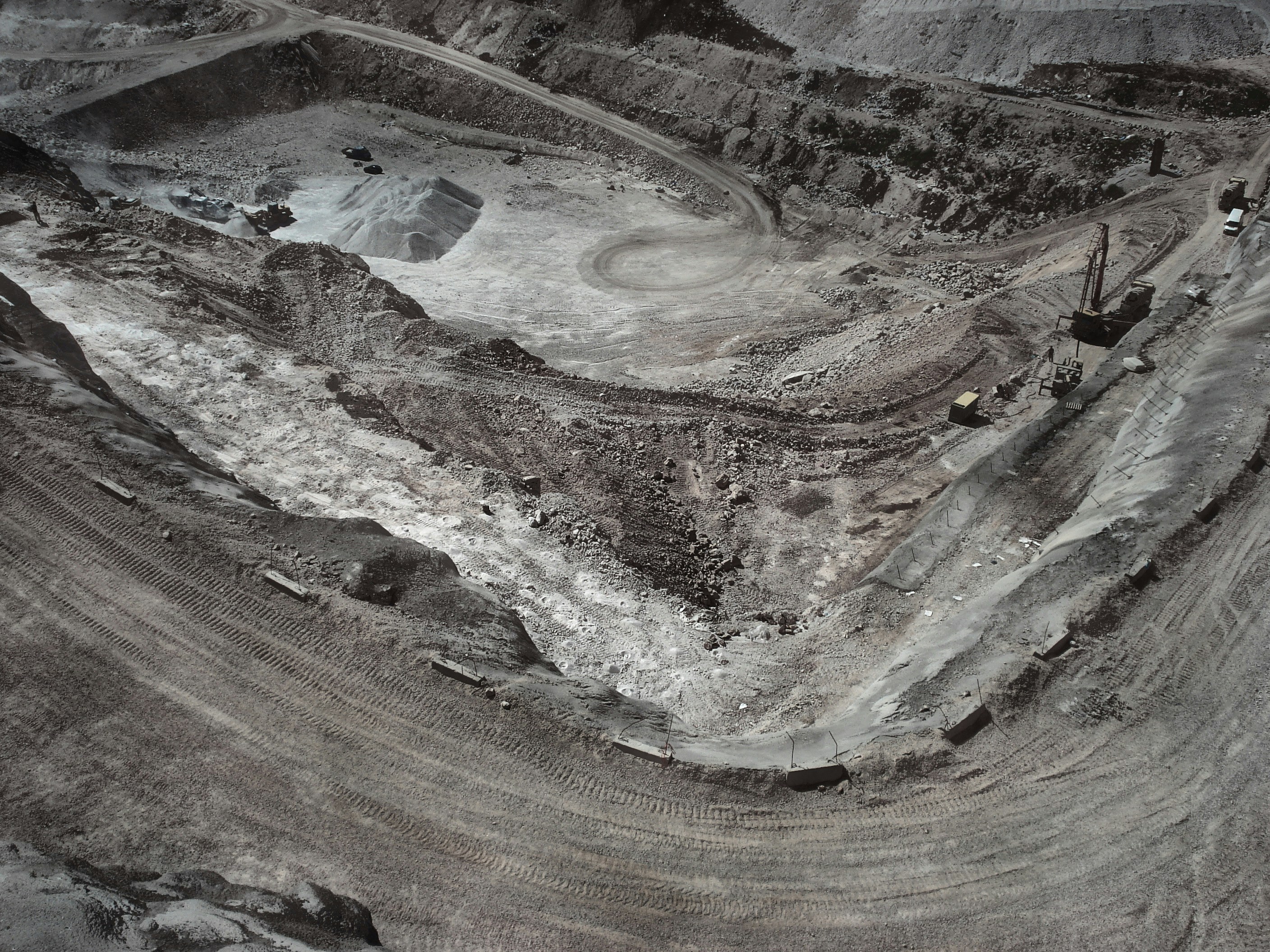
VOLUMETRICS
Stockpile Measurement
Fast stockpile, quarry and earthworks measurement without manual surveying.
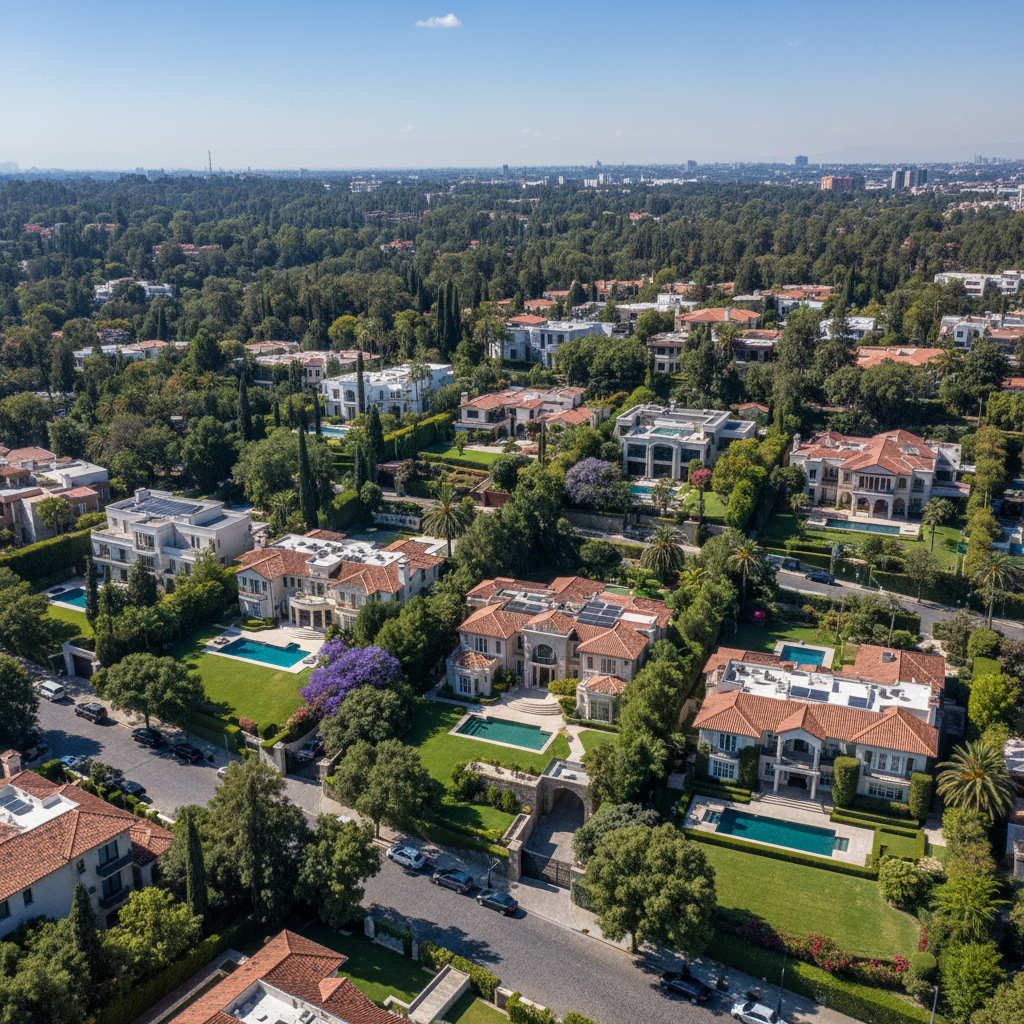
AERIAL PHOTOGRAPHY
Property, Events & Commercial
Professional aerial photography and videography for property, events, construction and commercial projects.
BESPOKE MISSIONS
Specialist Operations
If there is a safer or smarter way to gather the data remotely, we will find it. No mission too unusual.
THE CASE FOR UAV
BETTER DATA.
LESS RISK.
Faster delivery, reduced exposure, lower cost. The case for aerial operations is quantitative.
80%
REDUCTION IN ACCESS COSTS
10×
FASTER DATA CAPTURE
↓
REDUCED SITE EXPOSURE
24hr
TYPICAL TURNAROUND
LiDAR INTELLIGENCE
SEE WHAT THE
EYE CAN'T.
Capture millions of spatial measurements and transform complex environments into actionable data.
DATA OUTPUTS


CONFINED SPACE OPERATIONS
SEND THE DRONE.
NOT THE PERSON.
Remote UAV inspection enables detailed visual assessment of difficult, hazardous and inaccessible environments while reducing the need for personnel entry.
EXAMPLE ENVIRONMENTS
94%
COVERAGE
4K
RESOLUTION
ZERO
RISK
OPERATIONAL RECORD
MISSIONS
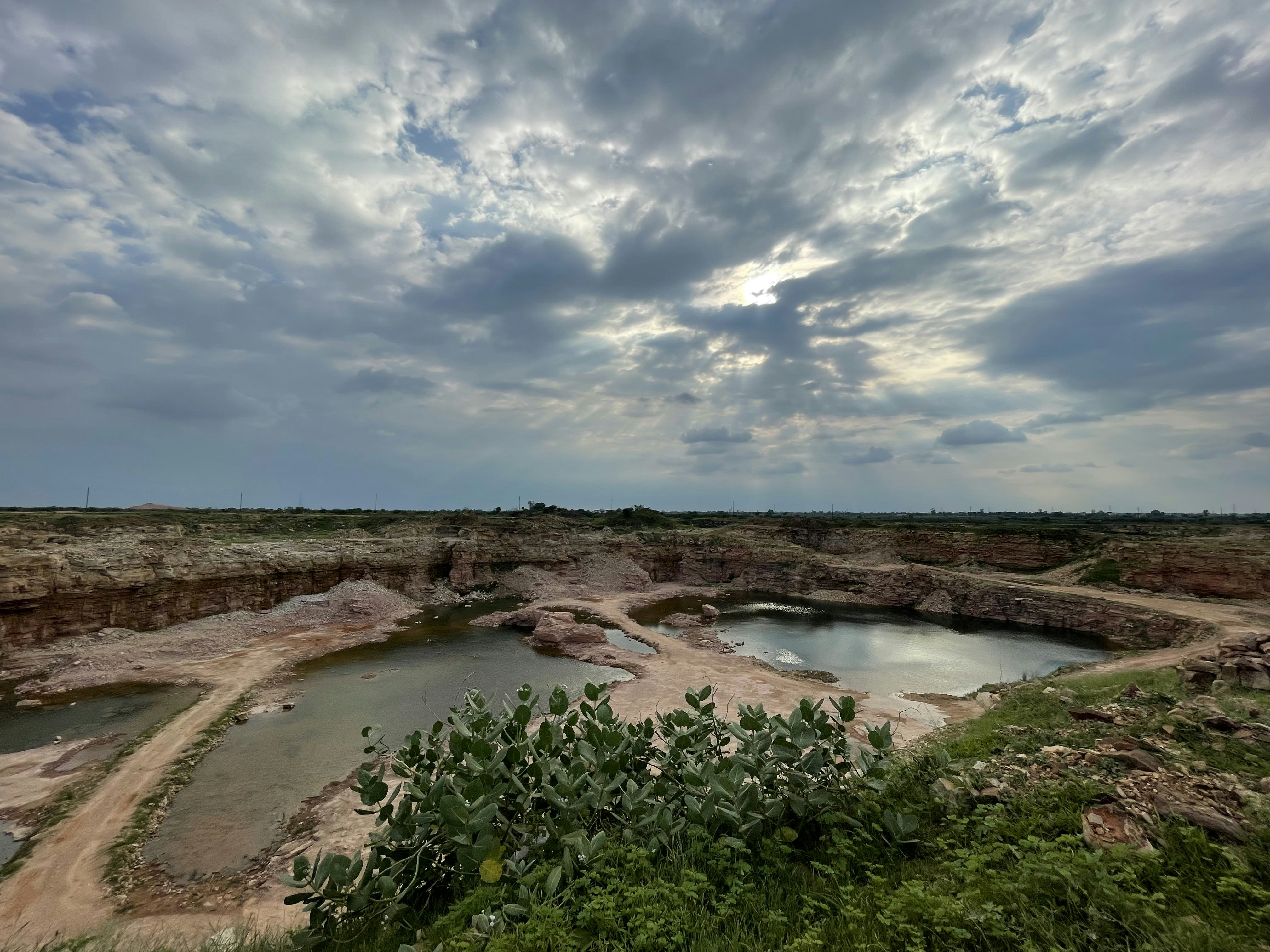
53.763° N / 2.704° W — LANCASHIRE
Quarry Volumetric Survey
Accurate stockpile measurement across 14-hectare active quarry without operational shutdown.
OUTCOME
Survey completed in 4 hours. 14 individual stockpile volumes calculated to ±0.3% accuracy.
53.521° N / 2.118° W — GREATER MANCHESTER
Water Treatment Tank Inspection
Internal inspection of three reinforced concrete tanks without confined-space entry.
OUTCOME
Full internal survey completed. Structural defects identified and mapped. Zero personnel entry required.

53.801° N / 2.987° W — LANCASHIRE COAST
Coastal Infrastructure Thermal Survey
Thermal anomaly detection across 2.3km of coastal flood defence infrastructure.
OUTCOME
7 thermal anomalies identified. Maintenance prioritised by severity. No access disruption.
OPERATIONAL WORKFLOW
FROM PROBLEM
TO INTELLIGENCE.
BRIEF
Tell us what needs inspecting, measuring, finding or mapping. No technical knowledge required.
MISSION PLANNING
We assess location, airspace, access, risks and data requirements. A detailed mission plan is produced.
DEPLOY
Professional UAV operations are carried out safely and efficiently. You receive live progress updates.
PROCESS
Captured data is processed into useful intelligence. Raw data is transformed into deliverable formats.
DELIVER
Receive imagery, reports, maps, models or datasets ready for your team, workflows and systems.
COMPLIANCE & SAFETY
SERIOUS EQUIPMENT.
SERIOUS OPERATIONS.
Professional UAV operations require more than a drone and a licence. Every mission is planned, risk-assessed and executed to a professional standard.
Documentation available for procurement and site onboarding.
CAA PERMISSIONS
Operating with appropriate Civil Aviation Authority permissions and operational authorisations where applicable.
COMMERCIAL INSURANCE
Comprehensive commercial liability insurance covering UAV operations across the UK.
RISK ASSESSMENTS
Detailed site-specific risk assessments and RAMS produced for every mission.
QUALIFIED OPERATORS
All UAV operations conducted by qualified, competency-assessed operators.
AIRSPACE PLANNING
Thorough pre-mission airspace coordination, NOTAM management and regulatory compliance.
DATA SECURITY
Secure data handling, transfer and storage protocols for all captured mission data.
SITE COORDINATION
Full liaison with site managers, safety teams and relevant stakeholders prior to deployment.
PROFESSIONAL WORKFLOWS
Documented quality procedures and professional data processing pipelines for all deliverables.
DEPLOYMENT COVERAGE
LANCASHIRE BASED.
UK DEPLOYED.
Based in Lancashire and deploying nationwide for commercial, industrial and specialist UAV operations.
UK-WIDE
COVERAGE
24hr
RESPONSE
100%
INSURED
BASE: 53.763° N / 2.704° W
SECTOR COVERAGE