
OPERATIONAL RECORD
MISSIONS
A record of UAV deployments. Each mission represents a problem solved, a risk removed and data delivered.
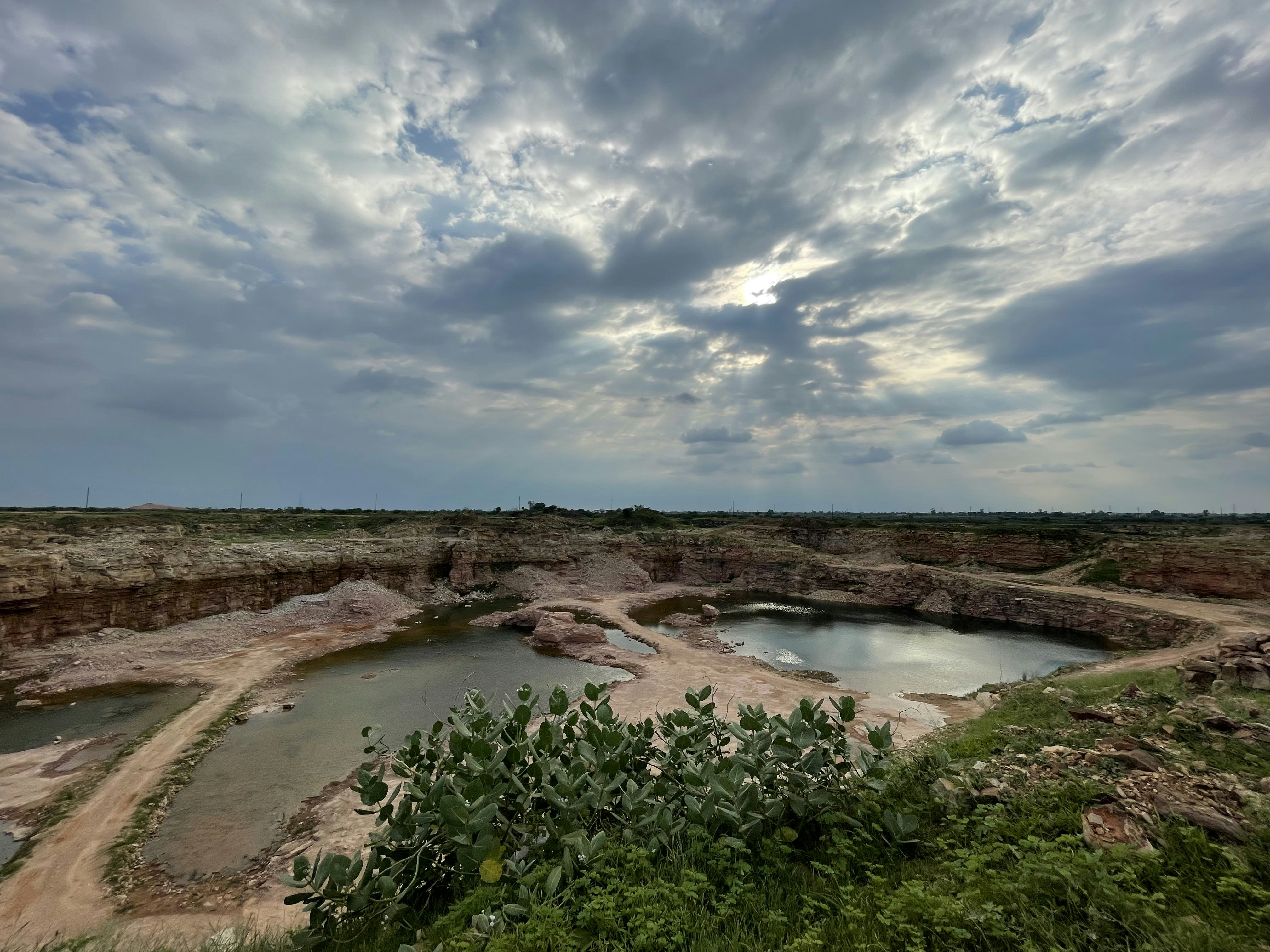
53.763° N / 2.704° W — LANCASHIRE
Quarry Volumetric LiDAR Survey
THE OBJECTIVE
Accurate stockpile measurement across 14-hectare active quarry without operational shutdown.
THE CHALLENGE
Active quarry operations with HGV movements and dust. Survey required without stopping production.
THE OUTCOME
Survey completed in 4 hours flight time. Stockpile volumes calculated to ±0.3% accuracy. Production continued uninterrupted.
DATA
2.4 billion LiDAR points captured. 14 individual stockpiles identified and modelled.

53.521° N / 2.118° W — GREATER MANCHESTER
Water Treatment Tank Internal Inspection
THE OBJECTIVE
Internal inspection of three reinforced concrete tanks without confined-space entry.
THE CHALLENGE
Tanks previously required full confined-space entry team. High cost and programme risk.
THE OUTCOME
Full internal survey completed. Structural defects identified and mapped. Zero personnel entry required. 70% cost saving versus traditional access.
DATA
4K video and high-resolution imagery captured throughout. Defects mapped to tank drawings.

53.801° N / 2.987° W — LANCASHIRE COAST
Coastal Flood Defence Thermal Survey
THE OBJECTIVE
Thermal anomaly detection across 2.3km of coastal flood defence infrastructure.
THE CHALLENGE
Linear asset inaccessible by vehicle. Traditional inspection would require specialist access equipment over multiple days.
THE OUTCOME
7 thermal anomalies identified. Maintenance prioritised by severity. No access disruption. Survey completed in one day.
DATA
Radiometric thermal imagery processed. Temperature anomalies identified, classified and geolocated.

53.644° N / 2.345° W — LANCASHIRE
Industrial Chimney Stack Inspection
THE OBJECTIVE
Full external inspection of 85m chimney stack without scaffolding or rope access.
THE CHALLENGE
Chimney in active service. Scaffolding would require operational shutdown and 6-week programme.
THE OUTCOME
Full inspection completed in one day. Spalling and repointing requirements identified and mapped. Asset remained in service throughout.
DATA
Thousands of high-resolution images captured and processed into photogrammetric model.
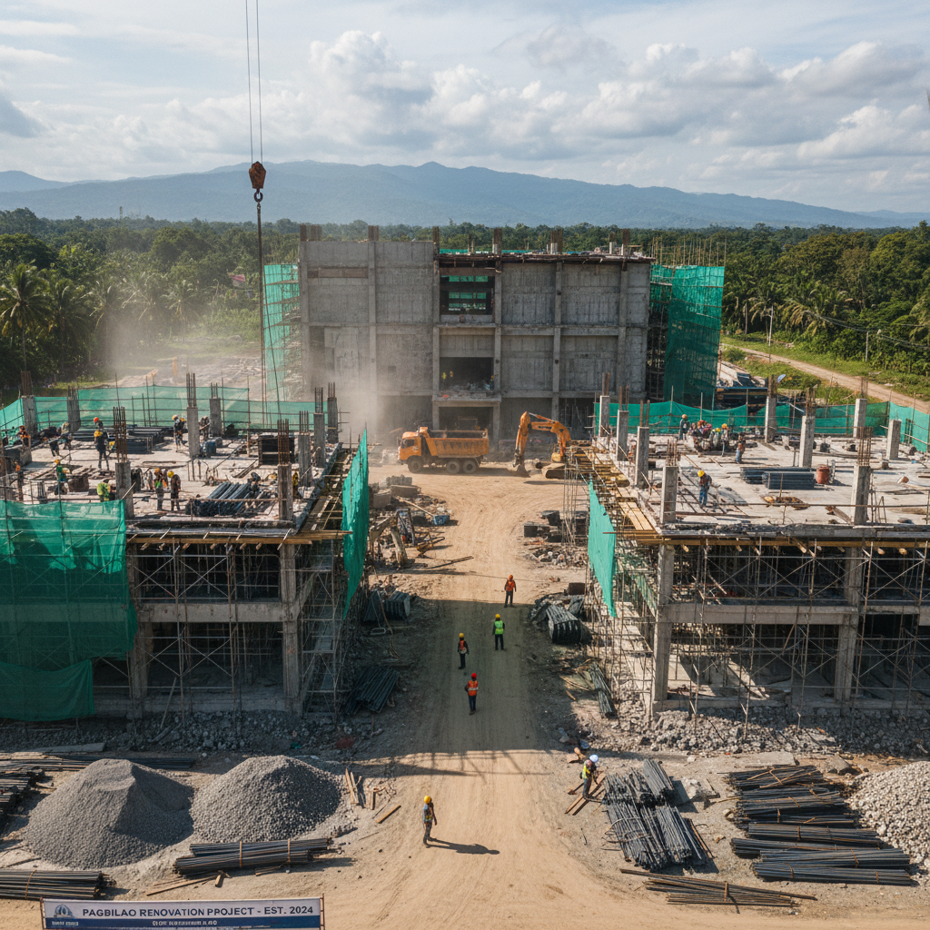
54.012° N / 2.534° W — NORTH LANCASHIRE
Pre-Construction Topographical Survey
THE OBJECTIVE
Survey-grade topographical data for 47-hectare development site.
THE CHALLENGE
Uneven terrain with active drainage channels. Traditional survey estimated at 3 weeks for site team.
THE OUTCOME
Survey data delivered within 5 working days. Directly imported into AutoCAD Civil 3D for design team. 3-week programme reduced to 5 days.
DATA
Survey-grade DTM, DSM and orthomosaic produced. Accuracy verified against GCPs to ±2cm.

53.489° N / 2.241° W — GREATER MANCHESTER
Railway Viaduct Structural Inspection
THE OBJECTIVE
Visual inspection of 14-span Victorian railway viaduct including soffits and piers.
THE CHALLENGE
Active railway. Possession windows limited to 4-hour overnight slots. Access beneath arches restricted.
THE OUTCOME
All 14 spans fully inspected within three possession windows. Defect schedule produced. Network Rail compliant reporting delivered.
DATA
6,000+ high-resolution images captured. Photogrammetric model of complete structure produced.