
SURVEY CAPABILITY
VOLUMETRIC
SURVEYS.
Fast, accurate stockpile measurement without manual surveying.
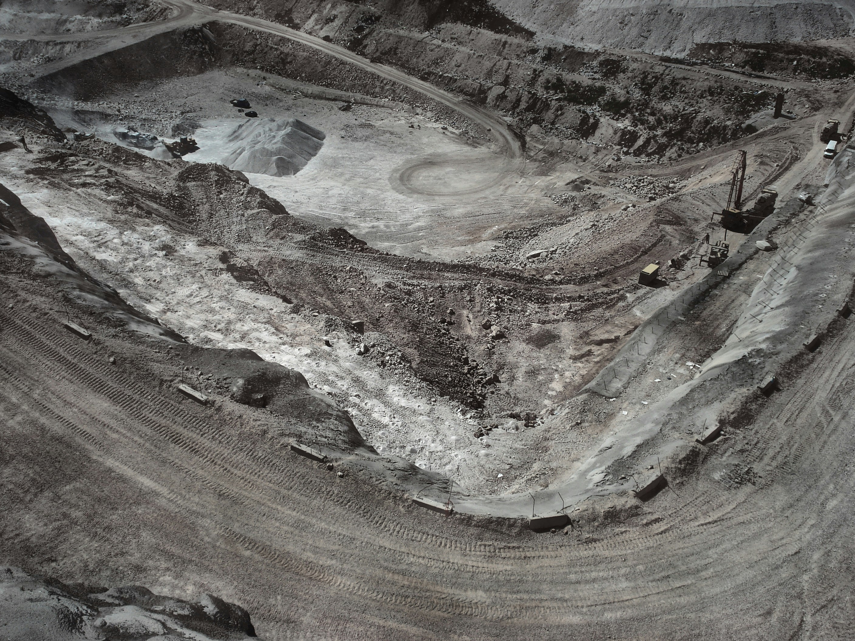
Aerial volumetric surveys for quarries, aggregate stockpiles and earthworks. Delivers accurate cut-and-fill calculations and progress reporting across large sites in minimal time.
Traditional stockpile measurement is slow, labour-intensive and often inaccurate. Aerial photogrammetry and LiDAR capture delivers precise volume calculations across entire sites in a single flight — with repeatable results for ongoing inventory management and progress tracking.
USE CASES
- Stockpile measurement
- Quarry surveys
- Earthworks monitoring
- Landfill management
- Construction progress
- Inventory management
DATA OUTPUTS
- Volume calculations
- Cut & fill data
- Progress reports
- Orthomosaic
- DTM comparison
ACCURACY SPECIFICATION
Volume accuracy±1–3%
GSD1.5cm @ 100m AGL
CoverageUp to 500ha/day
FrequencyWeekly / monthly options
ComparisonHistorical DTM overlay
±1%
VOLUME ACCURACY
500ha
PER DAY COVERAGE
10×
FASTER THAN MANUAL
CSV
DATA EXPORT
RELATED CAPABILITIES